Command Center Lampung Timur
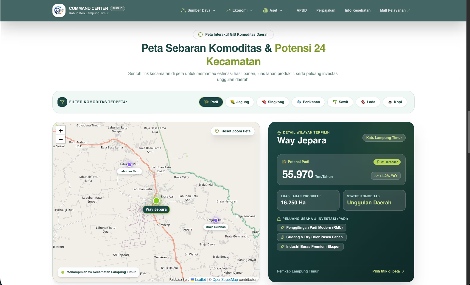
Command Center Kabupaten Lampung Timur is an open-data and public information portal that brings indicators from across 24 regional government agencies (OPD) into a single unified public channel. Built under the mandates of Law 14/2008 (Public Information Disclosure), Presidential Regulation 39/2019 (One Data Indonesia), and Presidential Regulation 95/2018 (Electronic-Based Government System / SPBE), the platform publishes authoritative regional figures — including the 2026 regional budget of Rp2.47 trillion, demographics of 1.12 million residents across 24 subdistricts, interactive GIS commodity mapping, and daily food price tracking with TPID and BPS. Currently in finalization and validation ahead of its official transition to the lampungtimurkab.go.id domain.
- Rp2,47T
- Regional Budget Published
- 24
- Subdistricts & OPDs Unified
- 1.12M
- Citizens Represented
- Finalization
- Official Submission Stage
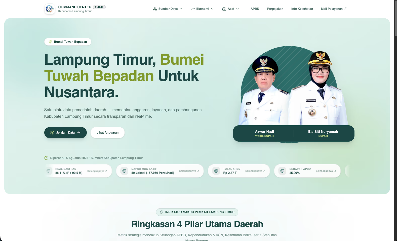
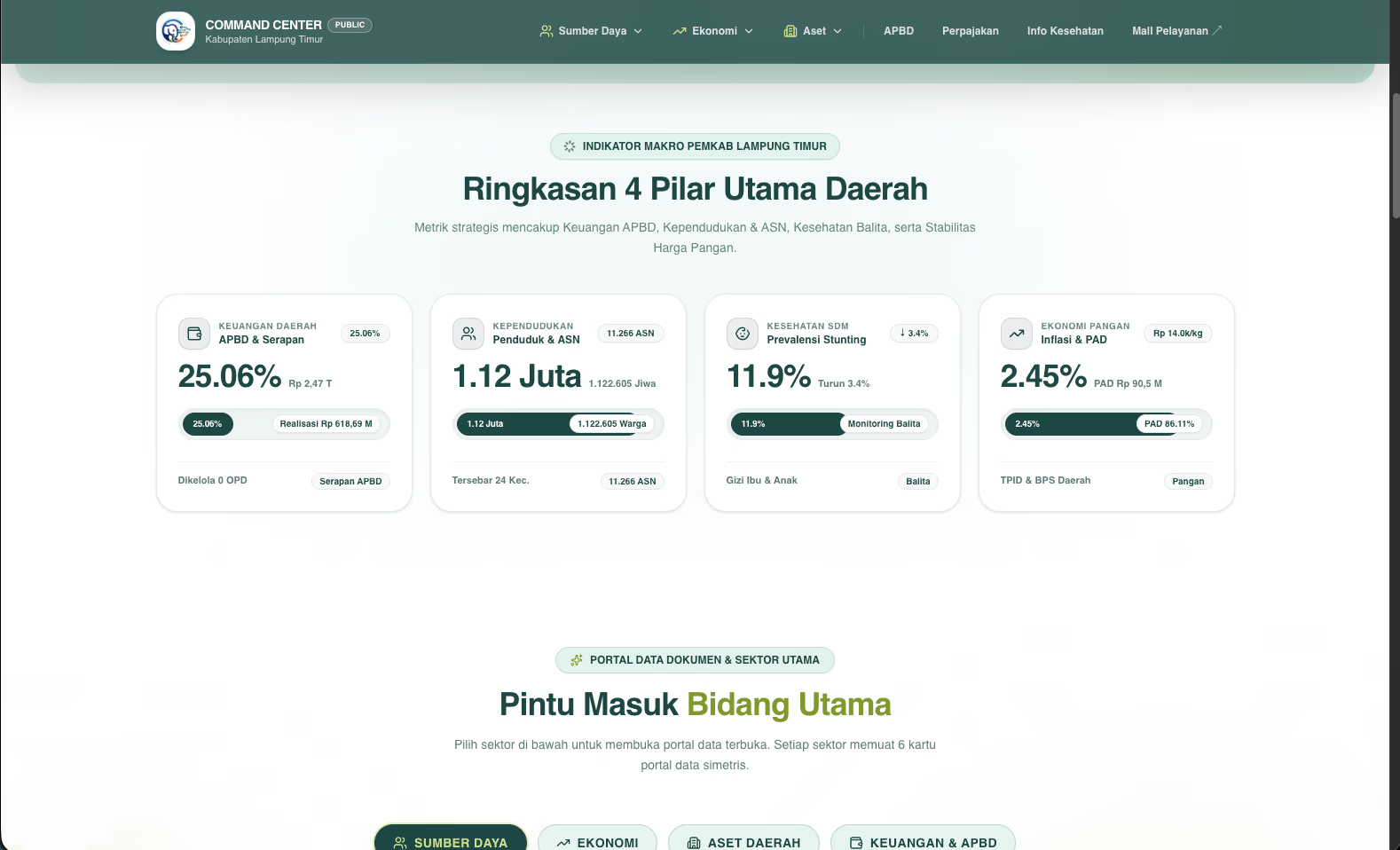
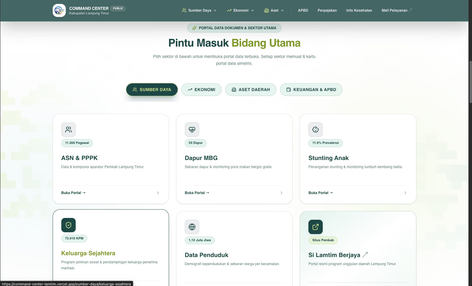
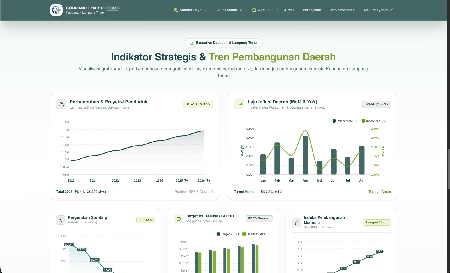
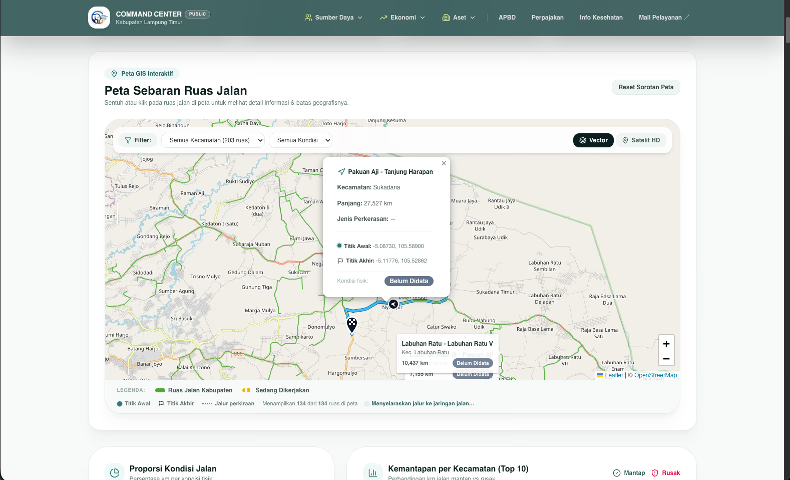
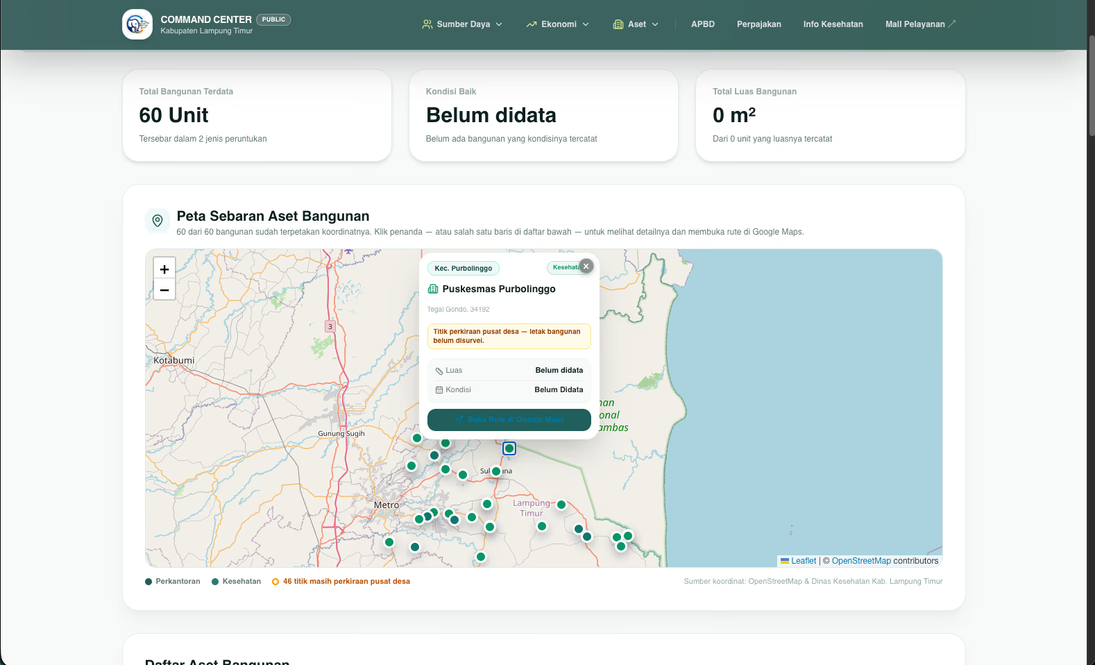
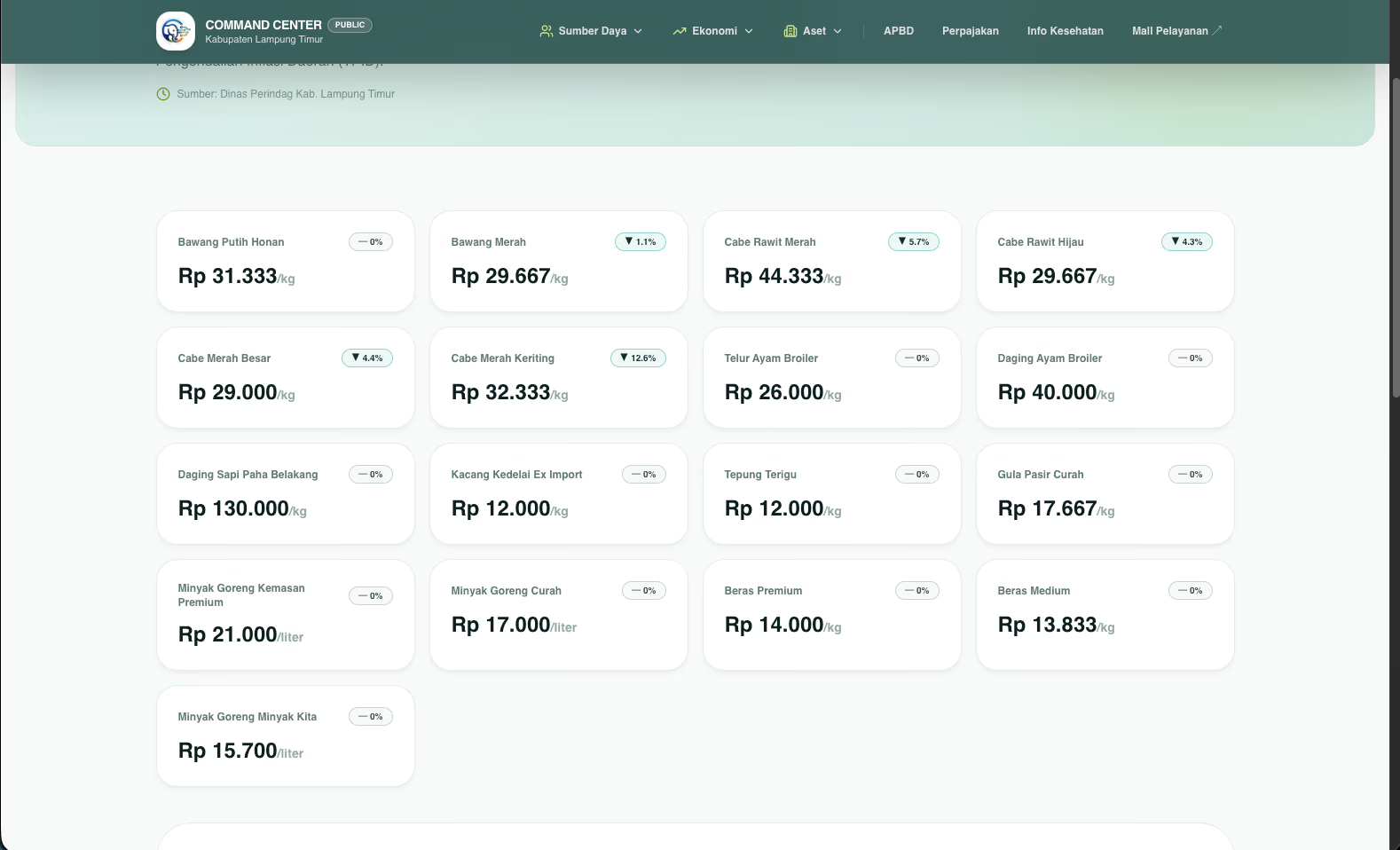
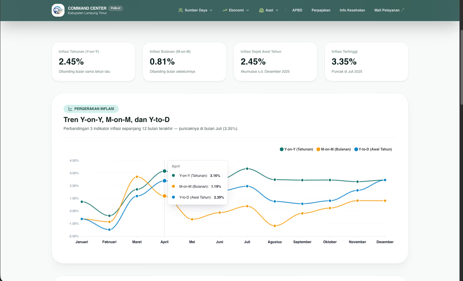
Regional government data had long been trapped in departmental silos across 24 agencies — scattered in inconsistent formats (from scanned PDFs to image tables), with incompatible district codes and absent metadata. Whenever local leadership requested critical numbers, such as stunting prevalence or budget absorption, different departments produced conflicting figures, requiring meetings to be spent reconciling versions rather than making decisions. For citizens, public disclosure often stalled at a digital archive cabinet: files were uploaded, but numbers could not be searched, extracted, machine-read, or tracked over time.
We engineered the Command Center around a single-source-of-truth architecture: the portal never manufactures data, but publishes official agency records with explicit data custodians, timestamps, and statutory citations attached to every metric. The front end is built on the Next.js App Router with Tailwind CSS, structured around four primary pillars: Regional Finance (APBD), Demographics & Civil Service, Human Development & Stunting, and Food Economy. It integrates interactive Leaflet/OpenStreetMap GIS layers for commodity yields, 633.61 km of road networks, and municipal buildings, backed by a rigorous /tentang methodology page and deep integration into existing services like Si Lamtim Berjaya and the Public Service Mall (MPP).
- Next.js
- React
- TypeScript
- Tailwind CSS
- Leaflet GIS
- OpenStreetMap
- Recharts
- SPBE & Open Data